

4 Day Inca Trail Map
This is the official map of the Classic Inca Trail, located at the starting point at kilometer 82. It shows the elevation profile of the entire route to Machu Picchu, highlighting key campsites such as Wayllabamba, Pacaymayo, and Wiñay Wayna, along with archaeological sites like Runkurakay, Sayacmarca, and Phuyupatamarca.
The chart also illustrates the native wildlife habitats found along the trail, including spectacled bears, deer, and representative Andean bird species. It’s a clear visual of the altitude changes and key landmarks you’ll encounter during the four-day trek.
Table of Contents
Classic Inca Trail 4 Days—Itinerary
Day 1: KM 82 – Wayllabamba
-
Starting point: Piscacucho (KM 82) – approximately 2,600 meters
-
Highlights: Cross the Urubamba River, visit the archaeological site of Llactapata, and enjoy views of the Veronica mountain range.
-
Campsite: Wayllabamba – approximately 3,000 meters
-
Distance: Around 11 km
-
Ecosystem: Dry Andean forest and native vegetation
-
Difficulty: Moderate ascent
This day begins with a gentle walk through farmland and Inca terraces, followed by a gradual uphill path to the first campsite.
Day 2: Wayllabamba – Pacaymayo (via Dead Woman’s Pass)
-
Start: Wayllabamba – 3,000 meters
-
Ascent to: Llulluchapampa and then Warmiwañusca (Dead Woman’s Pass) – 4,215 meters, the highest point of the trek
-
Descent to: Pacaymayo campsite – approximately 3,600 meters
-
Distance: Around 11 km
-
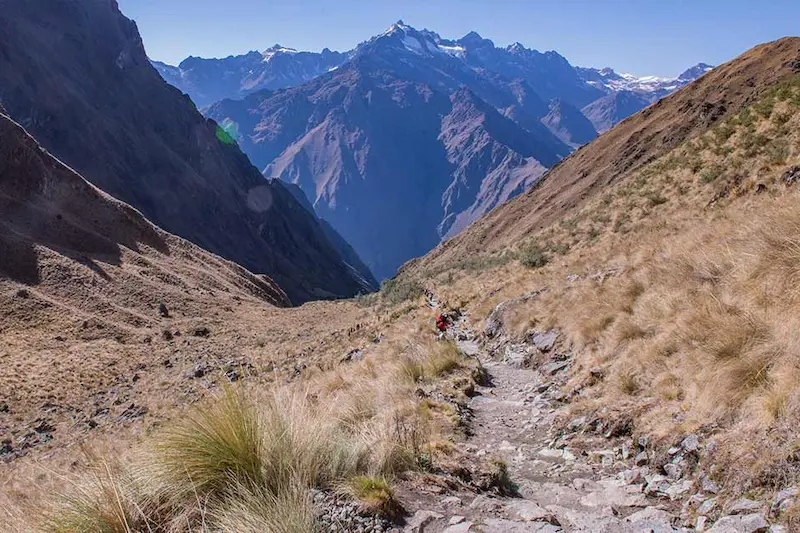
Ecosystem: High Andean puna and grasslands
-
Difficulty: Very challenging due to steep climbs and high altitude
This is the most physically demanding day, requiring a steady pace and altitude acclimatization. The views from the pass are stunning but weather conditions can be cold and windy.
Day 3: Pacaymayo – Wiñay Wayna
-
Start: Pacaymayo – 3,600 meters
-
Climb to: Runkurakay Pass – around 3,950 meters
-
Sites along the way: Runkurakay, Sayacmarca, Phuyupatamarca
-
Trail passes through: Dense cloud forest and native orchid zones
-
Campsite: Wiñay Wayna – approximately 2,600 meters
-
Distance: Around 15 km
-
Ecosystem: Cloud forest and transitional jungle
-
Difficulty: Moderate, with constant ascents and descents
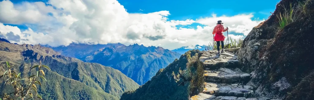
This day is considered the most scenic. Trekkers visit several important archaeological sites and walk along original Inca stone paths through diverse landscapes.
Day 4: Wiñay Wayna – Machu Picchu
-
Start: Wiñay Wayna – 2,600 meters
-
Checkpoint: Intipunku (Sun Gate) – approximately 2,720 meters
-
Arrival at: Machu Picchu Citadel – 2,430 meters
-
Distance: Around 5 km
-
Ecosystem: Upper Amazon cloud forest
-
Difficulty: Easy to moderate with an early morning departure
Hikers reach the Sun Gate just before sunrise and catch the first panoramic view of Machu Picchu. After a short descent, the guided tour of the Inca citadel begins.
Wildlife Along the Inca Trail
According to the official trail map, the route crosses habitats where visitors may spot:
-
Spectacled bears
-
White-tailed deer
-
Viscachas
-
Andean bird species
-
Amphibians and reptiles
-
Native cloud forest and Andean flora
Are you ready to live one of the most incredible experiences on the planet?
Machu Picchu is not only a wonder of the world, it is a journey that transforms your soul.
Machu Picchu Tickets, makes your dream of seeing the sacred city of the Incas come true with tours carefully designed for all styles of travelers. Whether you’re looking for an epic hike along the Inca Trail, a scenic train tour or a private getaway, we have the perfect trip for you.
Don’t miss Machu Picchu
Normally booked 60 days in advance.