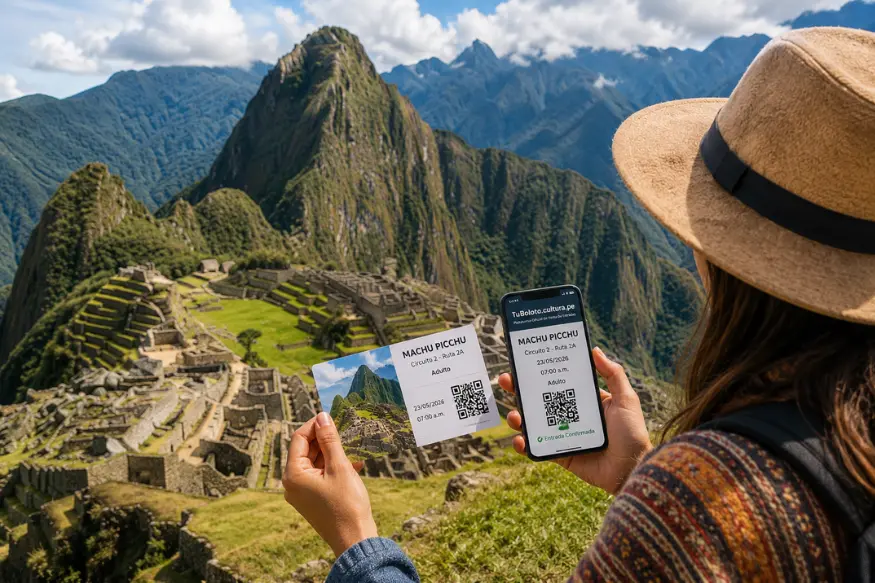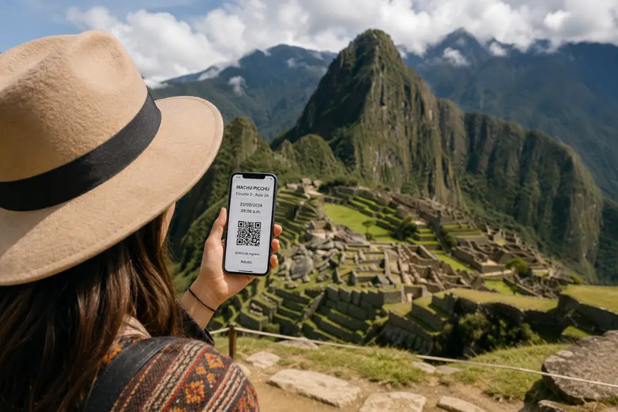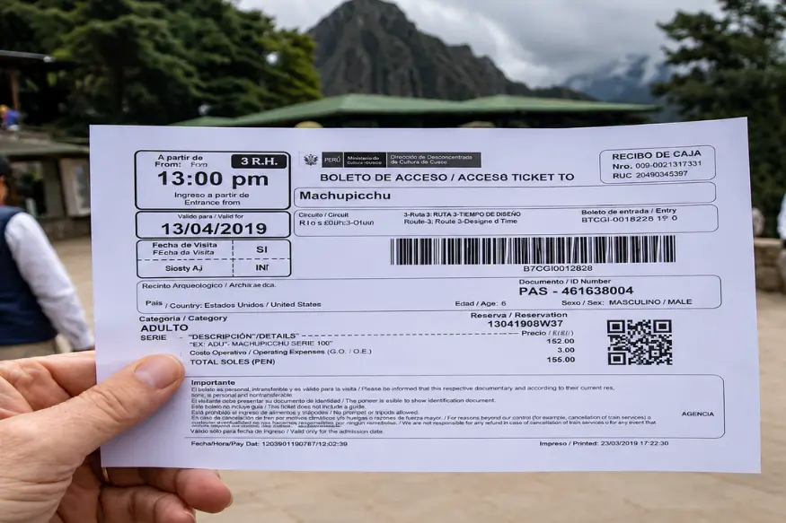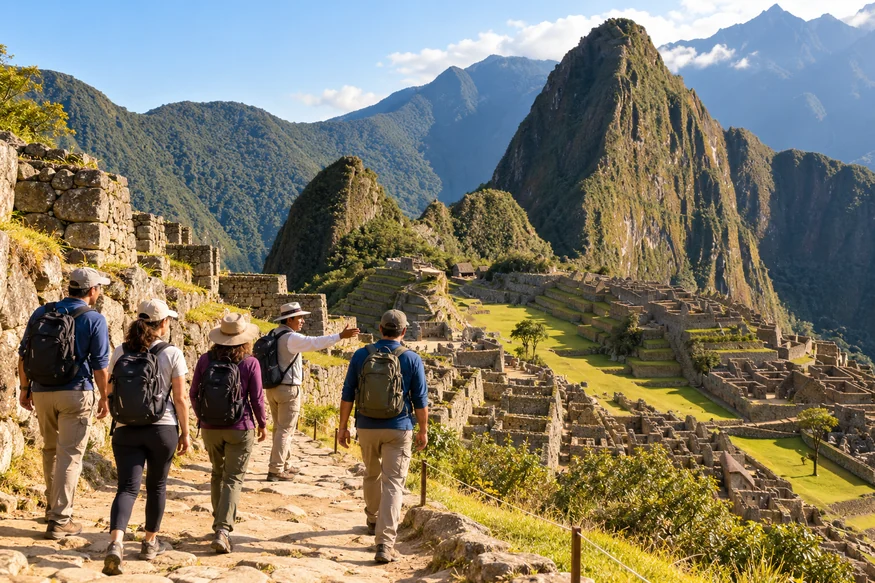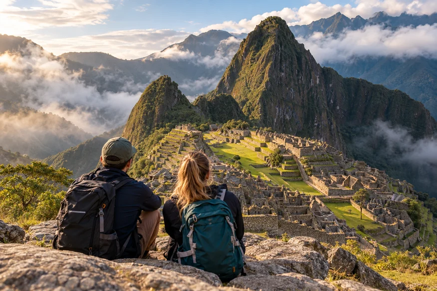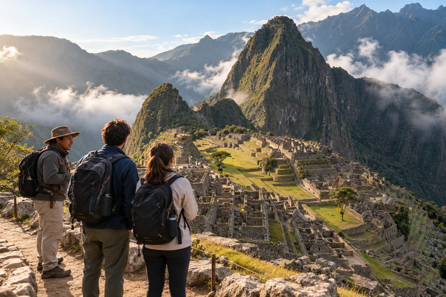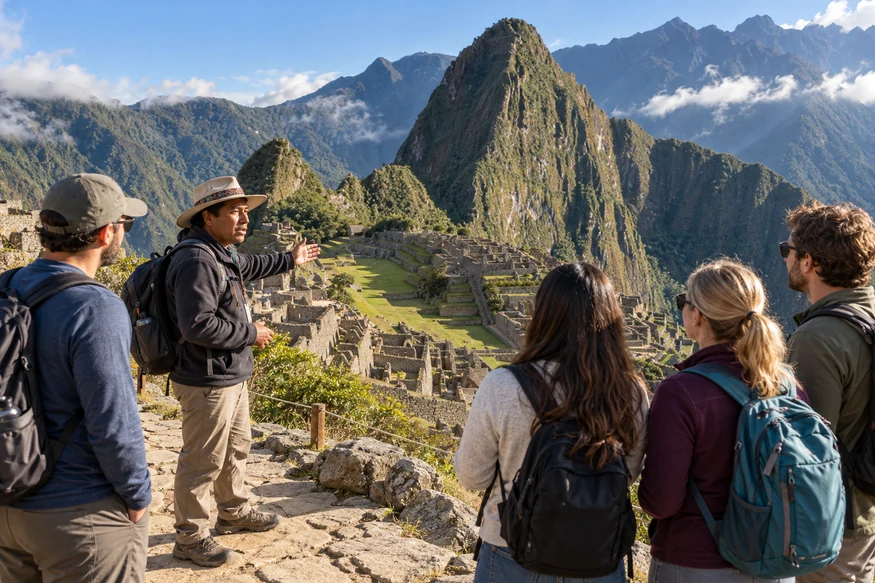

Machu Picchu is located in southern Peru, in the Cusco region of the Peruvian Andes. The Inca site sits high above the Urubamba River, surrounded by steep green mountains between the Andes and the edge of the Amazon basin.
If you look at a map, Machu Picchu does not seem particularly far from Cusco. The reality on the ground is different.
Mountains, deep valleys, and the Urubamba River separate the two places, which is why reaching Machu Picchu involves more than simply driving from Cusco to the entrance.
Understanding exactly where Machu Picchu is located also helps explain why the Incas chose this remarkable landscape and why the site remained relatively isolated for centuries.
Where Is Machu Picchu Located?
Machu Picchu is in Peru, South America, within the Cusco region.
More specifically, the archaeological site is located in:
| Location | Machu Picchu |
|---|---|
| Country | Peru |
| Region | Cusco |
| Province | Urubamba |
| District | Machupicchu |
| Mountain range | Andes |
| Nearby river | Urubamba River |
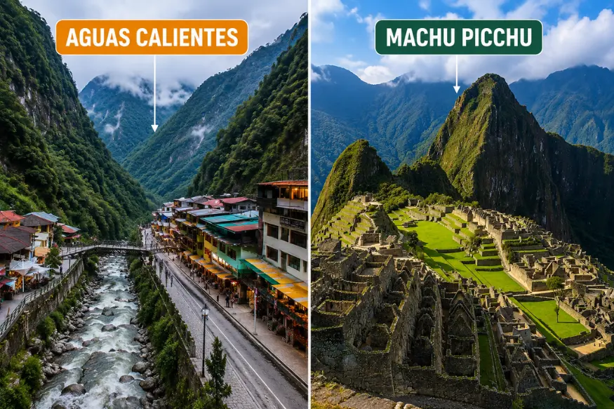
| Nearest town | Aguas Calientes, also called Machupicchu Pueblo |
| Elevation | About 2,430 m / 7,970 ft above sea level |
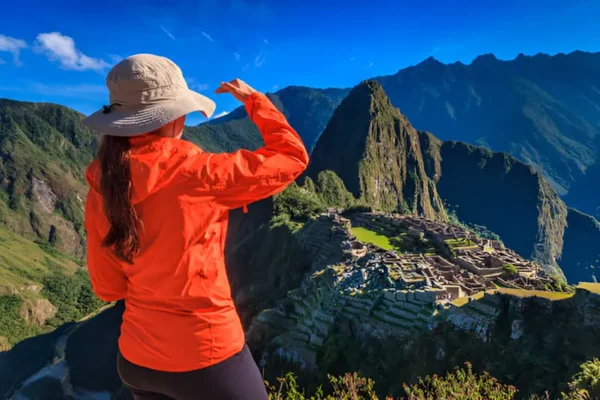
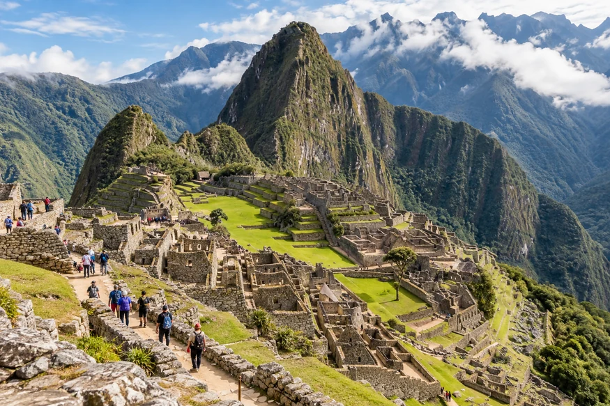
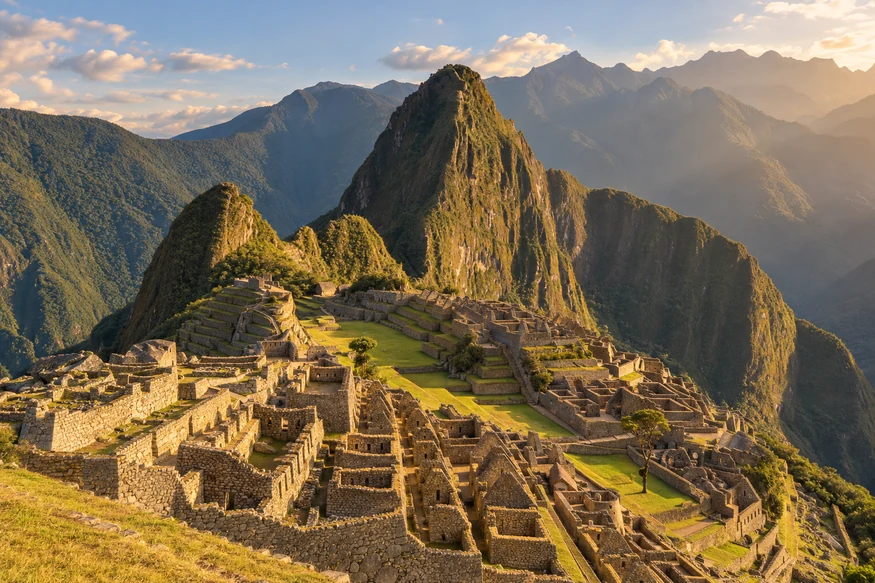
The archaeological site stands on a mountain ridge above a dramatic bend in the Urubamba River.
This geography is an important part of what makes Machu Picchu so recognizable.
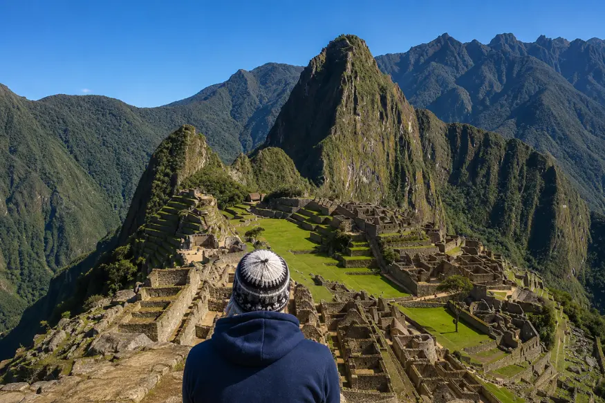
The ruins are not sitting on an open plateau. They are surrounded by steep mountains covered in vegetation, with deep valleys dropping toward the river below.
Where Is Machu Picchu on a Map?
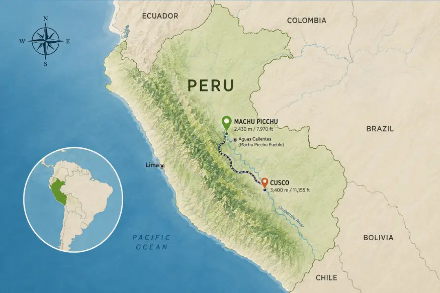
On a map of Peru, Machu Picchu is located northwest of the city of Cusco.
Cusco was the political center of the Inca Empire and remains the main starting point for most travelers visiting Machu Picchu today.
Machu Picchu lies farther into the mountains, beyond much of the Sacred Valley.
Its approximate coordinates are
13.1631° S, 72.5450° W
These coordinates place the archaeological site in a mountainous area where the high Andes begin descending toward the Amazon basin.
That transition helps explain the landscape you see at Machu Picchu.
Instead of the drier high-altitude scenery found around parts of Cusco, the mountains around Machu Picchu are much greener and covered with dense vegetation.
Is Machu Picchu in Cusco?
Yes, but there is an important distinction.
Machu Picchu is located in the Cusco region, but it is not inside the city of Cusco.
The city and archaeological site are separated by mountains and valleys.
Cusco is where most visitors begin their journey, while Machu Picchu lies farther northwest in the province of Urubamba.
This is why saying that Machu Picchu is “in Cusco” can mean two different things.
If you mean the Cusco region, the answer is yes.
If you mean Cusco city, the answer is no.
How Far Is Machu Picchu from Cusco?
Machu Picchu is roughly 75 kilometers (47 miles) northwest of Cusco in a straight line.
But straight-line distance is not particularly useful when traveling through the Andes.
There is no direct road connecting central Cusco with the entrance to Machu Picchu.
The mountains, valleys, and river mean travelers normally follow a much longer route through the region.
Most visitors travel from Cusco toward the Sacred Valley and continue by train toward Aguas Calientes. Others reach Machu Picchu by hiking routes such as the Inca Trail.
This is why a place that looks relatively close to Cusco on a map can take several hours to reach.
Is Machu Picchu in the Sacred Valley?
This question can be confusing because Machu Picchu is closely connected with the Urubamba Valley and is often included in trips through the Sacred Valley.
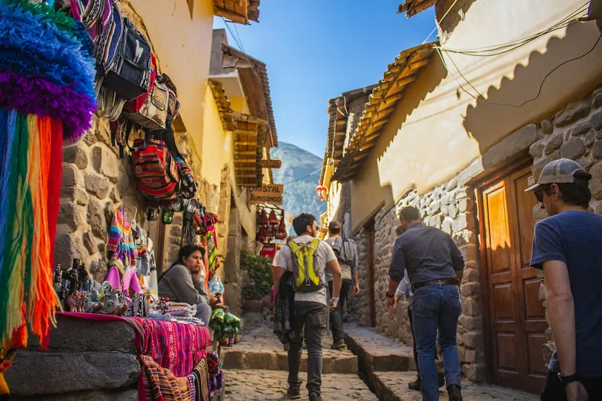
However, travelers usually think of the Sacred Valley as the area containing places such as Pisac, Urubamba, and Ollantaytambo.
Machu Picchu lies farther northwest, beyond Ollantaytambo, where the landscape becomes narrower, steeper, and increasingly tropical.
The Urubamba River continues through this area and curves around the mountains below Machu Picchu.
So Machu Picchu is closely connected geographically with the Urubamba Valley, but it is generally treated as a destination of its own rather than simply another Sacred Valley stop.
What Is the Closest Town to Machu Picchu?
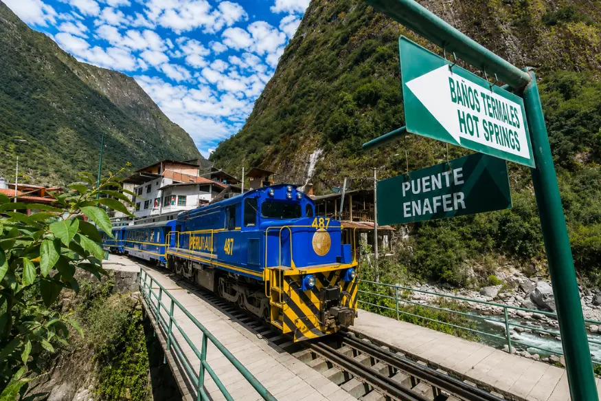
The closest town is Aguas Calientes, officially known as Machupicchu Pueblo.
It sits in the valley below the archaeological site beside the Urubamba River.
For most travelers, Aguas Calientes is the final stop before entering Machu Picchu.
There is no conventional road connecting the town with the rest of Peru’s highway network. Most visitors arrive by train or on foot.
From Aguas Calientes, the archaeological site is located high on the mountain above the town.
Buses travel along the winding road between the town and the entrance, while walking is also possible.
This close relationship makes Aguas Calientes an important part of almost every visit to Machu Picchu, particularly for travelers staying overnight.
Is Machu Picchu on Top of a Mountain?
Not exactly.
This is one of the easiest misconceptions to have when looking at photographs.
Machu Picchu is built on a mountain ridge, rather than directly on the summit of the mountain called Machu Picchu Mountain.
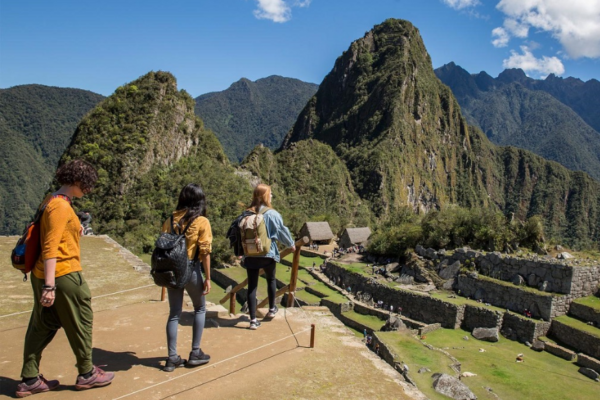
The archaeological site sits between prominent peaks.
Machu Picchu Mountain rises on one side, while Huayna Picchu rises on the other.
Huayna Picchu is the steep green mountain you usually see behind the ruins in the classic photograph.
This geography also helps explain the name of the site. In Quechua, Machu Picchu is commonly translated as “Old Mountain” or “Old Peak.”
Our guide to what Machu Picchu means explains the Quechua origin of the name and the interesting relationship between Machu Picchu and Huayna Picchu.
What Valley Is Machu Picchu In?
Machu Picchu overlooks the Urubamba River Valley.
The Urubamba River makes a large curve around the mountains below the archaeological site.
From above, this creates the impression that Machu Picchu is almost surrounded by the river and steep forested slopes.
The river was part of a much larger geographical corridor connecting different environments of the Inca world.
The valley also helps explain why the area feels so different from Cusco.
As you travel toward Machu Picchu, elevations generally decrease and vegetation becomes denser.
By the time you reach the area around the archaeological site, the landscape has changed noticeably.
Is Machu Picchu in the Andes or the Amazon?
Machu Picchu is in the Andes but close to an important ecological transition toward the Amazon basin.
That is why the landscape can surprise first-time visitors.
Many people imagine the Peruvian Andes as dry, open mountains similar to areas around Cusco.
Machu Picchu is much greener.
The site is surrounded by humid mountain forest, steep valleys, abundant vegetation, and dramatic peaks.
This environment is often described as cloud forest, where Andean mountain terrain meets warmer and more humid conditions coming from the Amazon side of Peru.
That combination is one of the reasons the landscape around Machu Picchu looks so distinctive.
Why Did the Incas Build Machu Picchu Here?
Looking at the location makes this question almost unavoidable.
Why build such an important complex on a narrow mountain ridge?
There probably was not one single reason.
The site was connected with the Inca road network and occupied a position between the high Andes and lower valleys toward the Amazon.
The surrounding mountains and water also had cultural and religious importance in the Andean world.
Most importantly, the Incas knew how to work with this difficult terrain.
Instead of flattening the entire ridge, they adapted terraces, buildings, stairways, drainage systems, and paths to the natural shape of the mountain.
The location therefore became part of the design itself.
If you want to understand how this mountain settlement developed and what happened to it after the Inca period, our Machu Picchu history guide explores the story in much more detail.
Can You Drive Directly to Machu Picchu?
No. There is no direct road to Machu Picchu from Cusco.
This is one of the most important things to understand when looking at its location on a map.
You cannot simply rent a car in Cusco and drive to the archaeological entrance.
Most travelers combine ground transportation with a train, while others hike to Machu Picchu.
There are also alternative routes that reach the broader Machu Picchu area without using the traditional train journey, but they still do not provide a normal road directly to the archaeological site.
This unusual access is largely a result of the geography surrounding Machu Picchu.
Why Machu Picchu’s Location Matters
Machu Picchu would be a remarkable archaeological site almost anywhere.
Its location makes it something different.
The Incas built between steep mountains, above a river valley, in a landscape where the Andes begin changing toward the Amazon.
They had to manage slopes, rainfall, water, agriculture, transportation, and construction in terrain that remains difficult to navigate today.
That is why understanding where Machu Picchu is tells you more than its position on a map.
The mountains and valleys around the ruins help explain how Machu Picchu was built, how people reached it, and why the site still feels so different from anywhere else in the Cusco region.