Inca Trail Altitude
Table of Contents
If you’re planning to hike the Inca Trail to Machu Picchu, altitude is one of the most important things to understand. This legendary trek takes you through mountain passes, Inca ruins, and high-altitude campsites. In this guide, we’ll break down the key altitudes you’ll face along the trail, explain how the weather changes by season, and answer the most common questions from travelers.
Campsite Altitudes Along the Inca Trail
Here’s a breakdown of the main campsites you’ll encounter on the Classic Inca Trail:
Km 82 (Start): 2,718 m / 8,924 ft—The official starting point. (more info)
Wayllabamba: 3,000 m / 9,843 ft – Ideal for acclimatizing early in the trek.
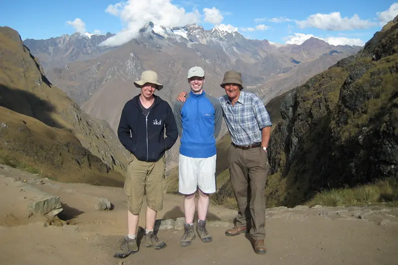
Ayapata: 3,300 m / 10,827 ft – Right before the climb to the highest pass.
Llulluchapampa: 3,850 m / 12,631 ft – Cold nights but great views.
Pacaymayo Alto: 3,600 m / 11,811 ft – A scenic high-altitude spot.
Chaquicocha: 3,600 m / 11,811 ft – Perfect place to rest after the passes.
Phuyupatamarca: 3,600 m / 11,811 ft – Known as the “Town in the Clouds.”
Wiñay Wayna: 2,650 m / 8,694 ft – Final campsite before Machu Picchu.
Puente Ruinas: 2,400 m / 7,874 ft – A lower site near the finish.
High Points and Mountain Passes
Dead Woman’s Pass: 4,215 m / 13,828 ft – The toughest climb on the trail. (more info)
Runkurakay Pass: 3,950 m / 12,959 ft – A steady ascent with epic views.
Machu Picchu Mountain: 3,082 m / 10,111 ft (more info)
Huayna Picchu: 2,720 m / 8,923 ft (more info)
Nearby visible peaks include:
Veronica Mountain: 5,682 m / 18,641 ft
Salkantay Mountain: 6,271 m / 20,574 ft
Pumasillo: 6,070 m / 19,911 ft
Key Archaeological Sites and Elevations
Salapunku: 2,900 m / 9,514 ft
Kanabamba: 2,800 m / 9,186 ft
Wilkarakay: 2,700 m / 8,858 ft
Patallacta: 2,750 m / 9,022 ft
Runkurakay Ruins: 3,760 m / 12,336 ft
Sayacmarca: 3,625 m / 11,893 ft
Concharmarca: 3,600 m / 11,811 ft
Intipata: 2,750 m / 9,022 ft
Sun Gate (Inti Punku): 2,720 m / 8,923 ft (more info)
Machu Picchu: 2,430 m / 7,972 ft (more info)
Weather and Conditions by Season
Dry Season (May to September)
Weather: Sunny days, cold nights.
Temperatures: Day: 15-20°C / 59-68°F, Night: 0-5°C / 32-41°F.
Trail Conditions: Generally dry and stable.
Crowds: High tourist season, more people on the trail.
Rainy Season (October to April)
Weather: Frequent rain, cloudy skies, higher humidity.
Trail Conditions: Muddy, slippery, less predictable.
Experience: Fewer tourists and greener landscapes.
Pros and Cons of Each Season
Dry Season
Pros:
Ideal weather and clear views
Stable trail conditions
Cons:
Crowded campsites and viewpoints
Cold nights
Rainy Season
Pros:
Fewer tourists, quieter experience
Lush greenery and waterfalls
Cons:
Wet, muddy trails
Risk of landslides and limited visibility
What to Expect from the Inca Trail
Preparation Tips
Train in advance. Include cardio and hikes with elevation.
Pack smart. Rain jacket, hiking boots, sun protection, trekking poles, energy snacks, and layers are all must-haves.
After the Trek
Rest and hydrate. Give your body time to recover.
Eat well. Focus on carbs and protein.
Knowing what to expect in terms of altitude and preparation will help you enjoy the journey and handle the high elevations more confidently.
Frequently Asked Questions
1. Will I see wildlife along the trail?
Yes, llamas, alpacas, hummingbirds, butterflies, and even condors in some areas.
2. Will I pass through local villages?
You may encounter small Andean communities that still live by traditional customs.
3. How much should I tip the staff?
Tipping is optional but customary. Check with your operator for suggested amounts.
4. What if I have dietary restrictions?
Most tour companies can accommodate vegetarian, vegan, and gluten-free diets. Let them know in advance.
5. Will I have phone signal?
Signal is weak to nonexistent on the trail. Aguas Calientes has reception. For emergencies, some groups carry satellite phones.
6. What if I get sick or injured?
Guides carry first aid kits. For serious issues, evacuation may be needed. Always have travel insurance that covers high-altitude trekking.
7. Are permits required?
Yes. Permits are limited and must be reserved months in advance through a licensed tour operator.
8. Is the trail suitable for all ages?
There’s no age limit, but trekkers should be in good physical condition. Talk to your doctor if unsure.
9. How does tourism help conservation?
Permit fees help maintain the trail and support local conservation projects. Responsible travel makes a difference.
Are you ready to live one of the most incredible experiences on the planet?
Machu Picchu is not only a wonder of the world, it is a journey that transforms your soul.
Machu Picchu Tickets, makes your dream of seeing the sacred city of the Incas come true with tours carefully designed for all styles of travelers. Whether you’re looking for an epic hike along the Inca Trail, a scenic train tour or a private getaway, we have the perfect trip for you.
Normally booked 60 days in advance.

